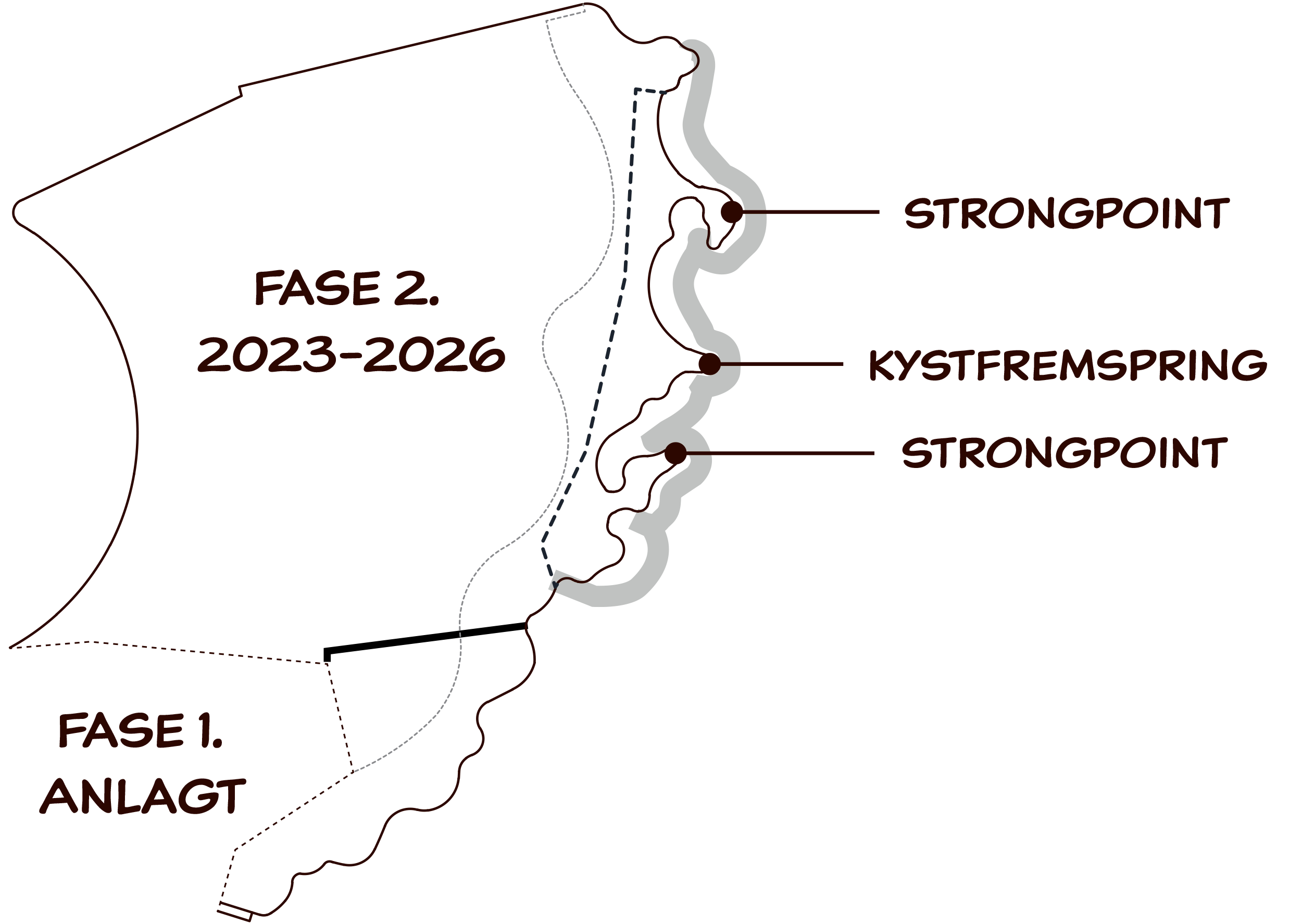
Visualisation shows the outline of Lynetteholm when the earth-fill of the peninsular is about half completed.
The geographical development of Copenhagen over the last 400 years has always met the city’s various needs and requirements.
Historically, Copenhagen has expanded into Øresund with a ring of defences and fortifications to keep enemies at bay. Sites such as Fort Middelgrund and Three Crown Fort continue to bear witness to the city's history.
Lynetteholm will be the next step in the city’s history of land reclamation and protection. Formerly we protected ourselves against enemy warships, now we are building Lynetteholm to protect us against climate change.
In the past, we would probably have built a dyke. Lynetteholm, on the other hand, will resolve a number of different needs at the same time.
Construction of Lynetteholm
- By & Havn are constructing Lynetteholm as a peninsular in the water between Refshaleøen an Nordhavn
- The reclaimed area will amount to 275 hectares, approximately equivalent to 385 football pitches
- Lynetteholm’s perimeter constitutes around 7 kilometres of stone embankments raised above the water.
- Lynetteholm’s landfill is expected to be completed around 2050
- Lynetteholm is one of Copenhagen’s first coastal protection projects to be have been finally adopted politically
- The construction of Lynetteholm is based on the UN climate change panel’s (IPCC’s) projections for rises in sea levels
- In the longer term, the vision is that Lynetteholm will also become a residential area with roads and an extension of the city Metro

Lynetteholm’s perimeter is to be constructed in two phases.
Strong-points and headlands protect both the rocky and sandy beaches of the new coastline from erosion.

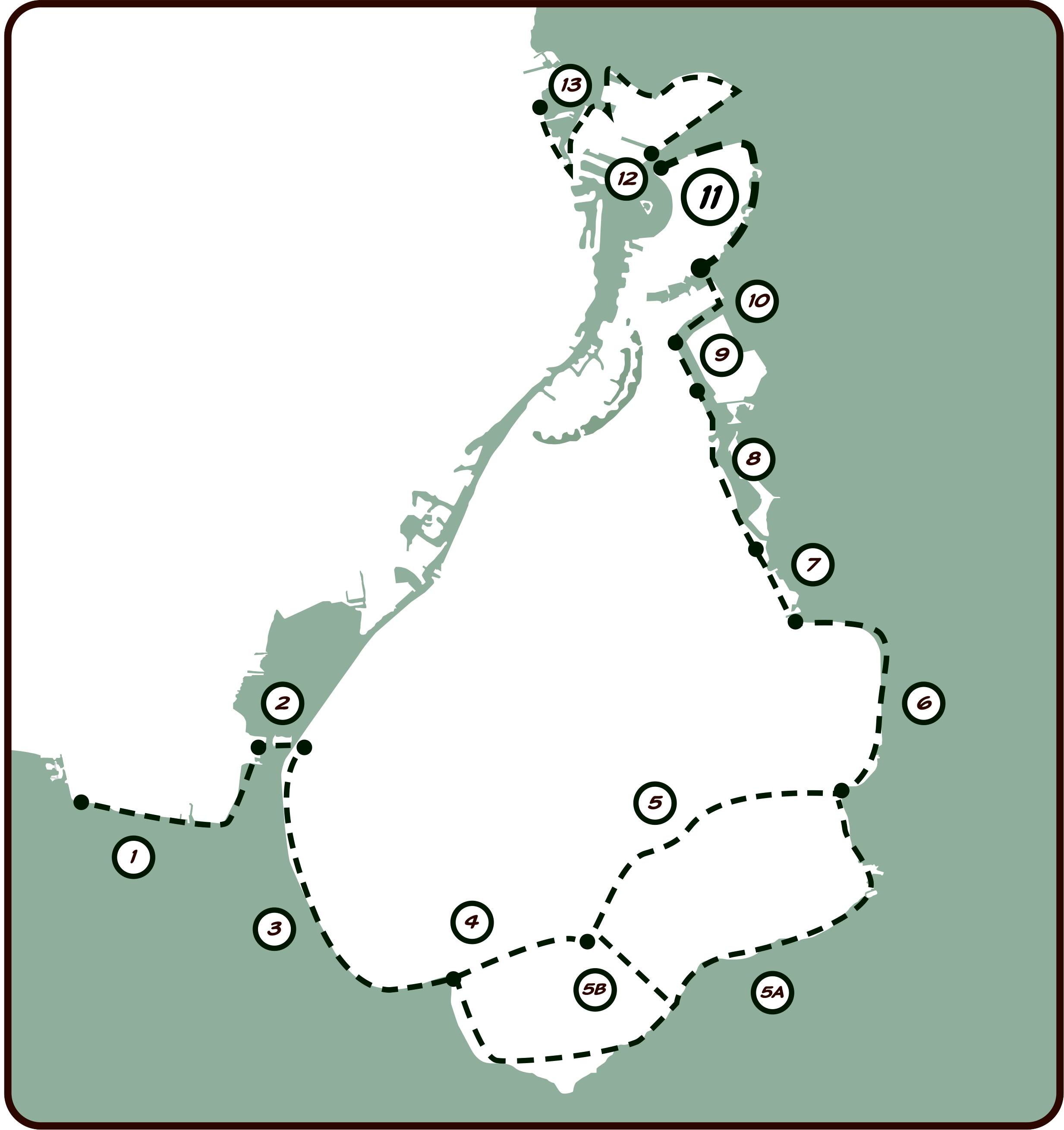
Between 2022-2024, the Ministry of Transport is coordinating a preliminary study of an overall storm-surge plan for the central part of the capital.
The study covers a total area that runs from Avedøre in the south via Amager to Copenhagen's northern municipal boundary at Svanemøllen Strand. To begin with, this area has been divided into 13 separate sections. Lynetteholm comprises section 11.


